
Free web application for Contaminated Site
Characterisation and Site-Specific Risk Assessment
Free web application for Contaminated Site
Characterisation and Site-Specific Risk Assessment
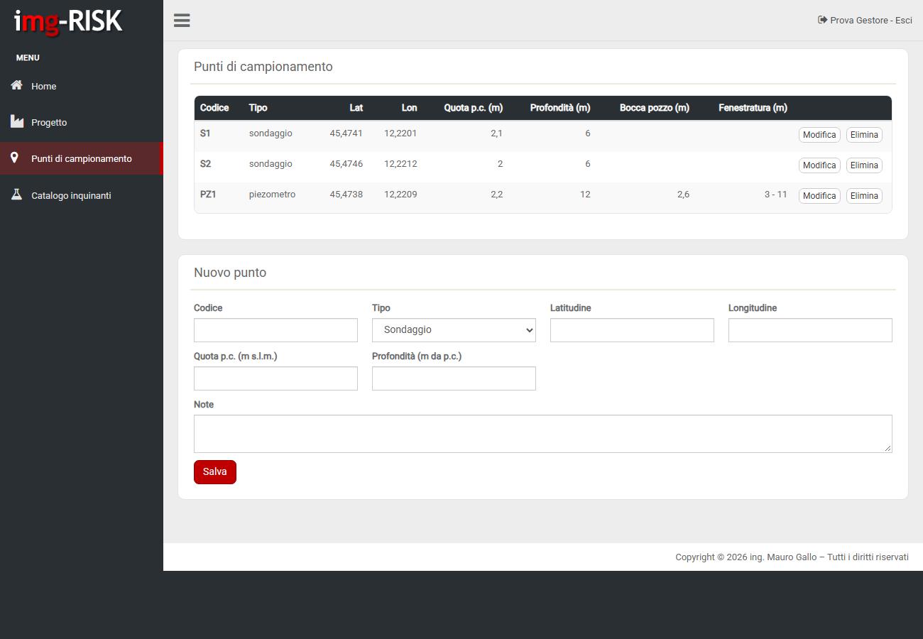 boreholes and monitoring wells of the site
img-RISK© brings the work on contaminated sites into one web environment: field data, laboratory reports, comparison with screening values, thematic maps and site-specific risk assessment, with results that public authorities can consult.
Beta version under development: functions are released in successive phases. The application pages are currently available in Italian.
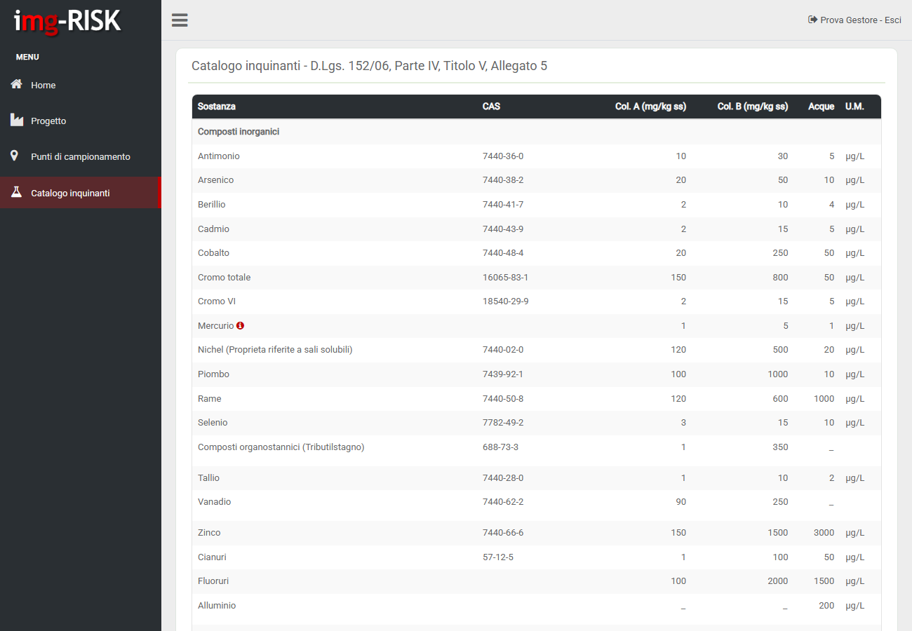 pollutant catalogue and regulatory limits
Web system available from any device, 24/7
All projects in one archive, shared with work teams and public authorities
Italian D.Lgs. 152/06 limits organised by pollutant family
From characterisation to risk assessment in a single tool
Sign in to your reserved area with email and password.
FREE ACCESSVersion Beta 0.1
Ready to start your first project? Great! Write us an email for more informations, doubts, bug reports or application development requests.